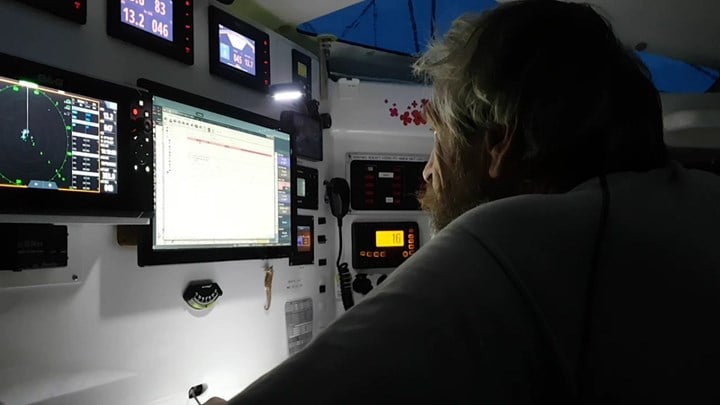
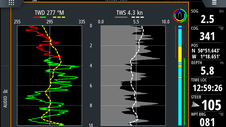
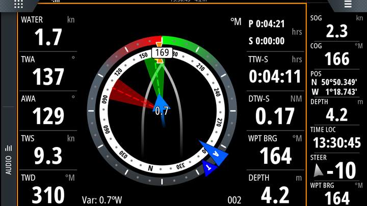
Let’s go through it; the numbers down the left-hand side are all configurable by the user, in this case they are (from the top); boat speed in knots (WATER); True Wind Angle (TWA); Apparent Wind Angle (AWA); True Wind Speed (TWS) and True Wind Direction (TWD).
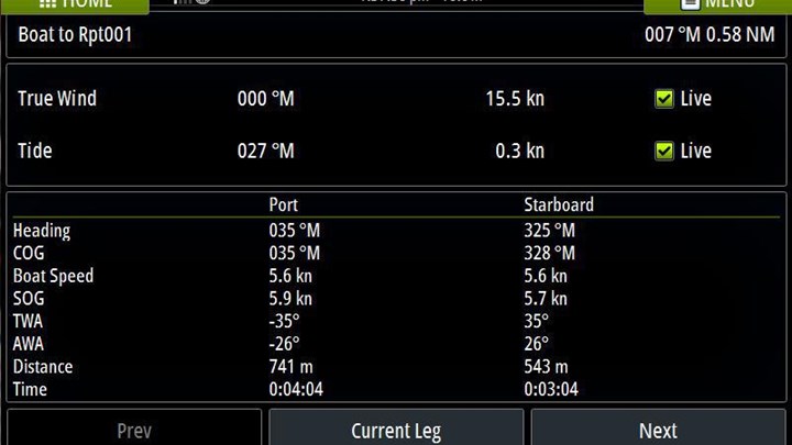
The numbers on the right-hand side (from the top) indicate: Magnetic or True reference beside the time on port (P) and starboard (S) tacks to the waypoint; total sailing time (TTW-S) to the waypoint on both tacks; total sailing distance (DTW-S) to the waypoint on both tacks; the waypoint bearing (WPT BRG); and the depth.
In the middle we have the cool stuff. The image always shows the outline of the boat sailing towards the top of the screen. So when looking forward at the display, a glance up towards the bow and the horizon has the virtual boat in the same orientation as the real one.
A compass rose in white and black spins around the outline of the boat to show the heading – the actual heading is the highlighted number in black and white, in this case 271 degrees. The little orange egg timer is the Course Over the Ground (COG). And the tide is shown by the blue arrow and number in the middle of the screen; flowing right to left at 1.3 knots.
The AWA is shown by the ‘A’ in the blue arrow, and the TWA is shown by the ‘T’ in the green arrow (it’s green when sailing on the target true wind angle upwind or downwind, but goes to blue if the boat is off the target by 10 degrees or more, and when reaching). In this example we can see both near to 310 degrees on the compass rose.
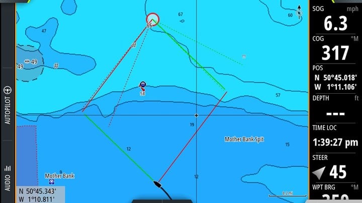
The red and green sectors show the laylines and their limits in the pattern of the wind shifts, with the green and red dashed lines showing the target TWA (laylines) for each tack in the TWD at that moment.
And finally, the yellow dot at about 340 degrees on the compass rose is the waypoint bearing.
