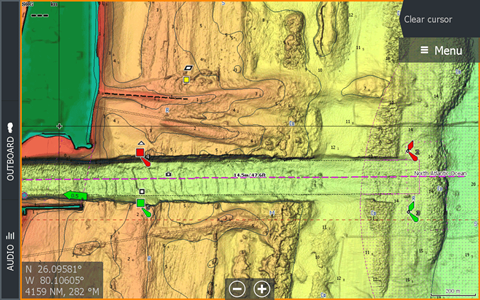
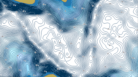
Maps that help you find more fish
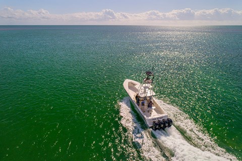
Whether you're spending the day fishing on the lake, or cruising on the coast, enhance your experience with detailed maps for your Simrad cartography units.
Choose from multiple chart options to navigate safely, help find the structure, and find more fish.