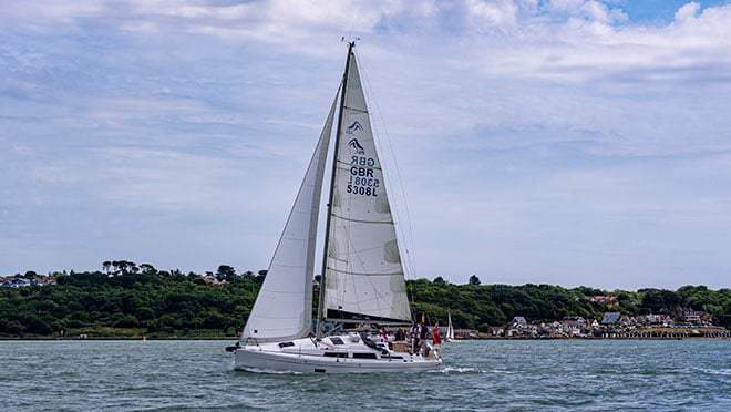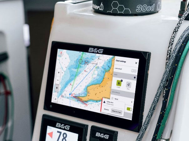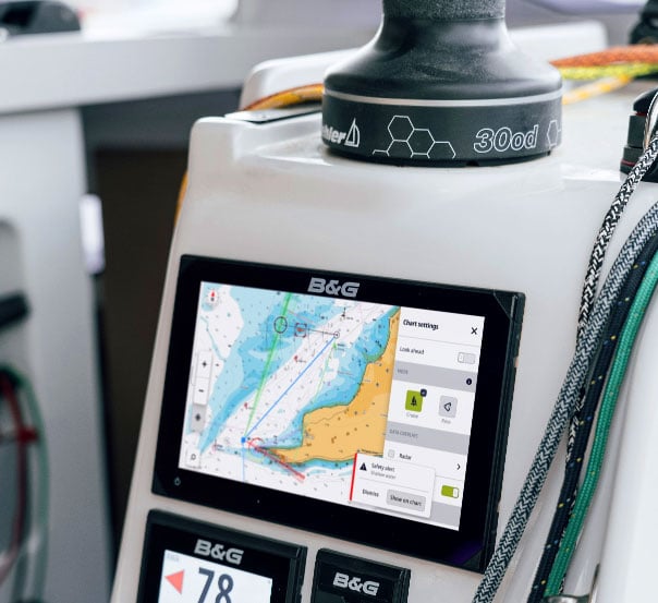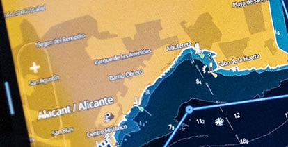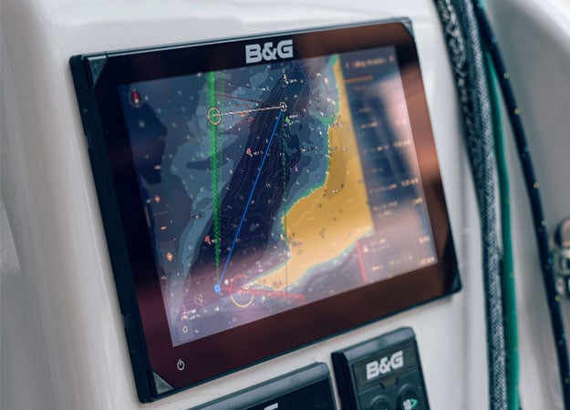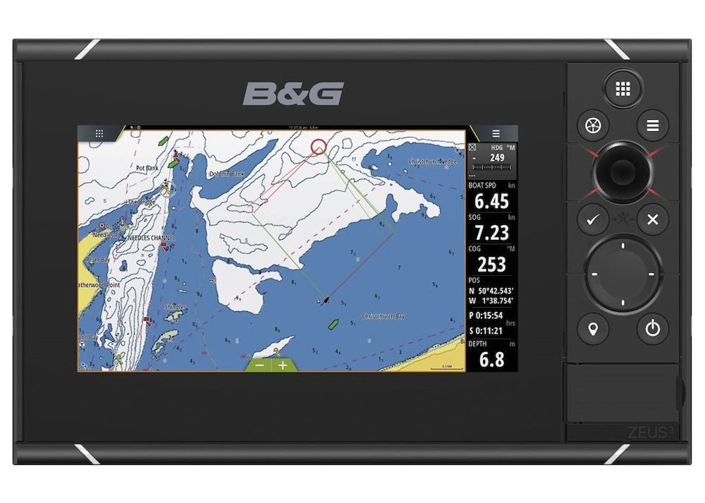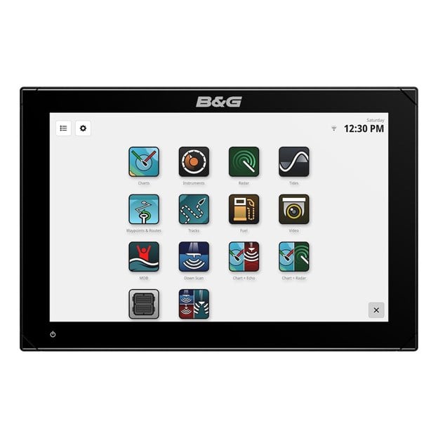

Intuitive and easy-to-use Chartplotter
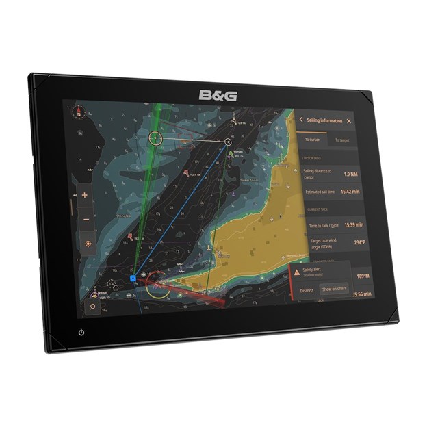
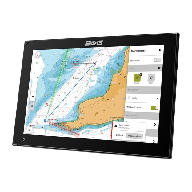
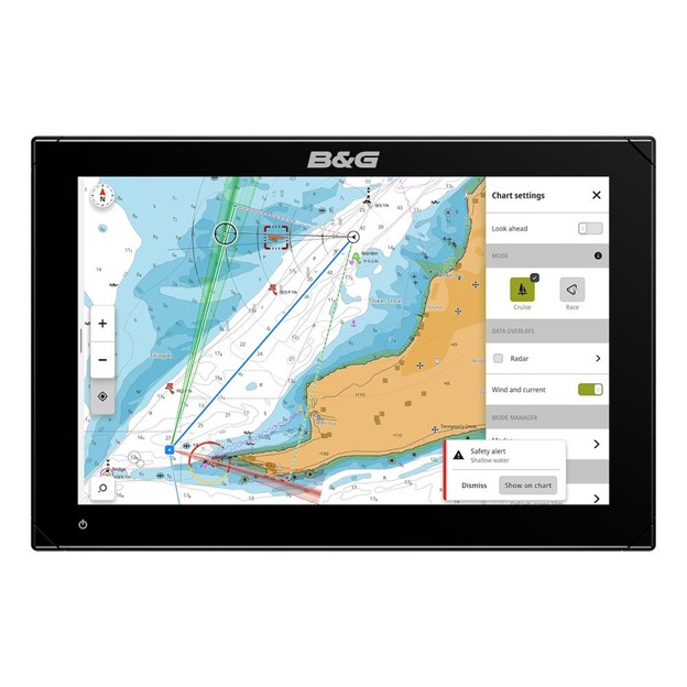
Zeus® S is our most intuitive chartplotter for sailing yet. It comes with new and unique Sailing Modes with preset dashboards and data for your situation, along with many enhanced sailing features for a simpler sailing experience. All of which is backed up by clear and accurate C-MAP® charting options for the safest and easiest navigation.