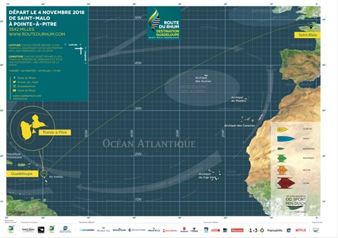
The course chart summarizes the major features of the race, including some of the climate zones. So what’s a climate zone? The earth’s oceanic climate features distinct bands, lying horizontally and looping the globe, running out from the Equator to the Poles in a mirror image. In the Route du Rhum - Destination Guadeloupe they will cross through three of these zones as they head south-west.
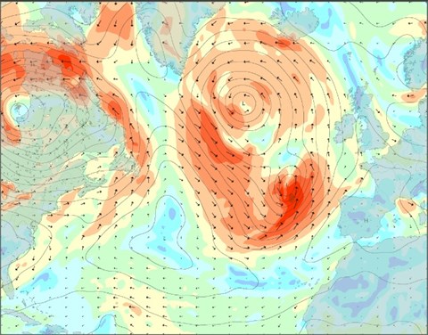
The transitions between the zones often define the tactical and strategic elements of the race – the trick is finding the right entry and exit points for each transition, a moment when conditions can radically change, and gains and losses can be spectacular.
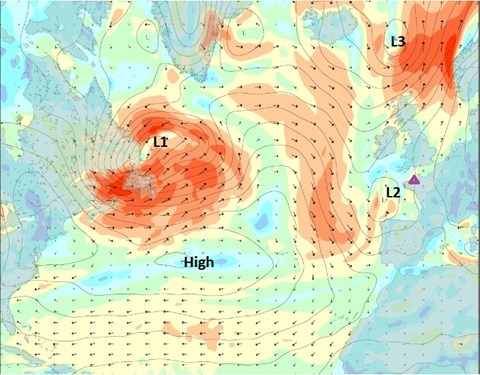
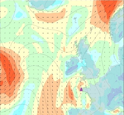
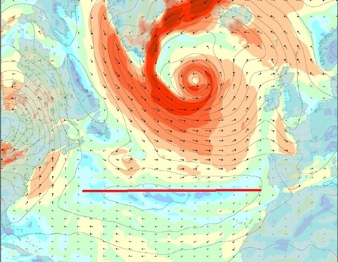
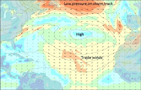
At this time of year, the start in St Malo is usually in the Westerly Storm Track. This is a region between about 40 and 60 degrees of latitude (it varies seasonally and with longitude) of storms and low-pressure systems that swirl west-to-east around the globe, circulating the Arctic in the northern hemisphere.
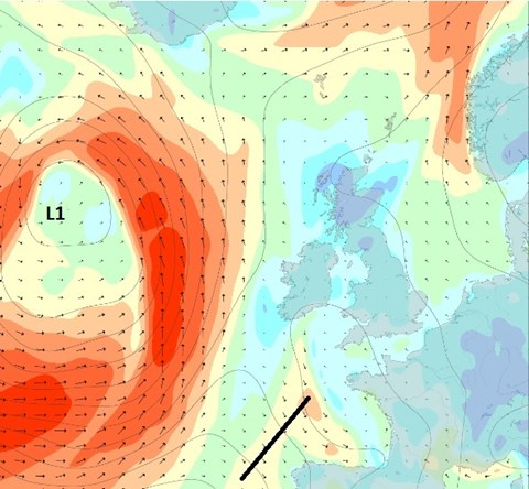
South of the Westerly Storm Track we have the Subtropical High-Pressure Zone. In the North Atlantic it is called the Azores High – named after the island chain – and it normally sits around 30-38 degrees. It’s a huge area of stable, semi-static high pressure that can block the route south-west. The big decision is usually whether to go north or south of the centre, but for some of the fleet this year it will produce a different problem.
Once they are through or around the Azores High, the fleet will enter the Trade Winds. These are moderate to strong winds that blow consistently towards the equator from the north-east in the northern hemisphere. Guadeloupe lies in the trade winds, so the boats will ride all the way to the finish in this climate zone – and that should mean fast, fun sailing in glorious conditions.
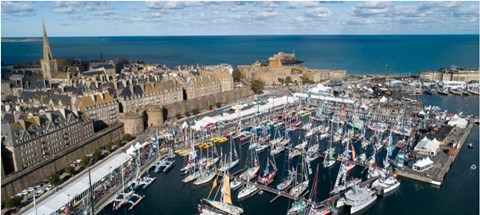
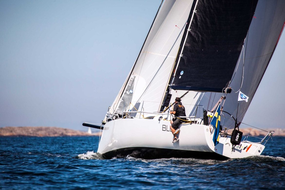
(Image credit Trimaran/Route du Rhum-Destination Guadeloupe)